Colorado looks special again
But, unlike last time, it’s supposed to be.

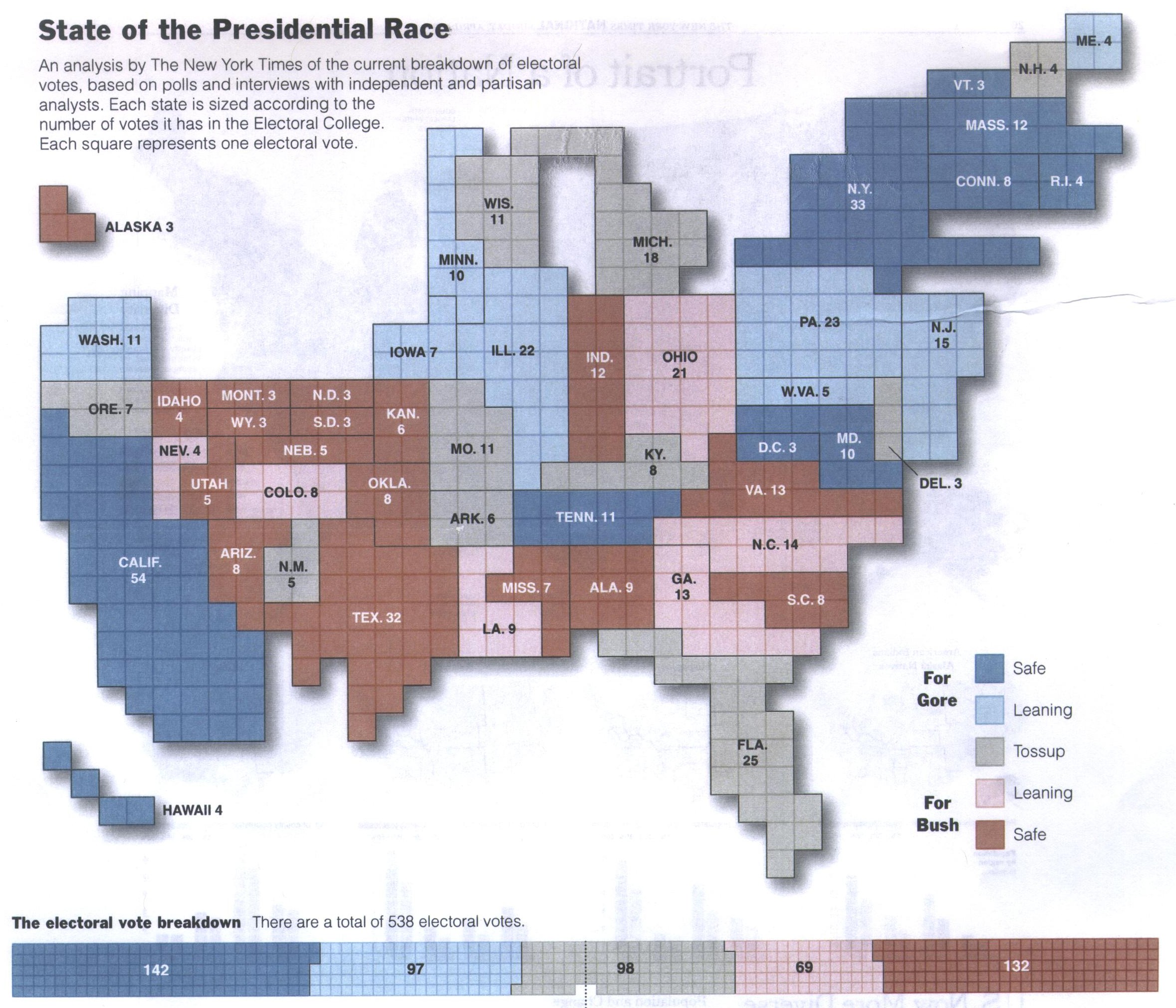
The graph, from Nate Silver’s fivethirtyeight.com, shows the probability of each State (and its Electoral College votes) going to Obama or Romney. The colour scale makes states near 50% stand out, which is a feature, not a bug. States near 50% are the important ones.
Colorado is dramatically visible because it’s smallest estimated margin that the Republicans have. It’s also dramatic because it’s surrounded by non-marginal states, which is appropriate.
The only way in which Colorado is inappropriately highly visible is that it’s sparsely populated and so occupies more of the map than its importance to the election result would justify. That’s a really hard problem to solve with data-based maps: sparsely populated areas do get too much attention, and none of the ways of mitigating this really work.
Thomas Lumley (@tslumley) is Professor of Biostatistics at the University of Auckland. His research interests include semiparametric models, survey sampling, statistical computing, foundations of statistics, and whatever methodological problems his medical collaborators come up with. He also blogs at Biased and Inefficient See all posts by Thomas Lumley »
You wrote “The only way in which Colorado is inappropriately highly visible is that it’s sparsely populated”.
My impression is that fivethrityeight address this with the companion maps of Tipping Point States (which provides weighting based on electoral college representation) and Return on Investment Index (which goes one level deeper to factor the individual voters strength on the electoral college). So the general solution is to use more than one map.
As an unrelated aside, I will note the American system is not entirely bases on state population (being a combination of house(population) and senate(statehood) representation) and this means that, between the sparsely populated states, the sparsest are disproportionately strong based on population. For example Utah has 9/17ths Colorado’s population but 2/3rds Colorado’s electoral college votes.
12 years ago
Yes, the small states are also over-represented in the real election, because of the Electoral College. These aren’t quite the same as the sparsely-populated states that are visually over-represented, although there is a correlation. Rhode Island, for example, has more electoral votes than it really deserves, but is almost invisible.
I don’t mean to disparage fivethirtyeight.com, which does an excellent job in conveying the trends and uncertainties in the US election. Nate Silver is possibly the best in the US at his job and his graphics are up to the quality expected from the New York Times, a very high bar indeed. The problem of excessive visual salience for sparsely-populated regions in data maps is still a real one, and it’s one that there isn’t a good solution to.
12 years ago