April 17, 2014
This is not a map
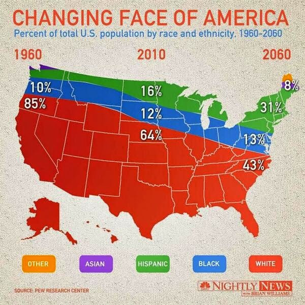
This is not a map. The Asian population of the US is not confined to Maine and northern Washington, and residents of the Dakotas are not primarily Black and Hispanic. It’s a stacked line plot, which has been cut out to fit the map outline, just like you might do in kindergarten. (via Flowing Data)
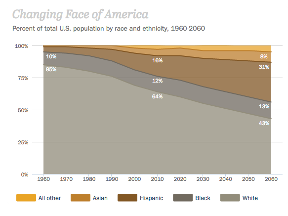
Here’s the real thing, from Pew Research.
Thomas Lumley (@tslumley) is Professor of Biostatistics at the University of Auckland. His research interests include semiparametric models, survey sampling, statistical computing, foundations of statistics, and whatever methodological problems his medical collaborators come up with. He also blogs at Biased and Inefficient See all posts by Thomas Lumley »
I guess they figured the numbers for Asian and Other between 1970 and 2050 or so just didn’t matter?
10 years ago
From a nerd viewpoint a particularly ironic aspect of the omission is that it happens because they got the geographical projection details right — the western section of the US/Canada border runs due east-west, and they’re showing better-than-average sophistication in portraying as curved.
10 years ago