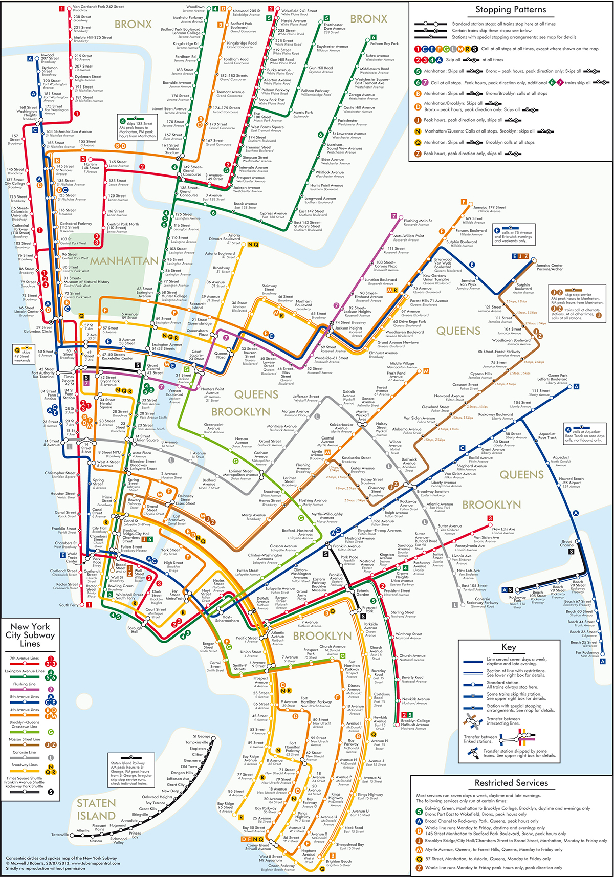
Transit maps: moving further from geography
The famous London Transport map showed that a train map didn’t have to represent where the trains went, just how they related to each other. A new example from New York uses concentric circles. The designer says
“These circles maps score poorly for simplicity: the line trajectories have lots of twists and turns, but score well for coherence: the city is forced into an unprecedented level of organization
(via @juhasaarinen)
Thomas Lumley (@tslumley) is Professor of Biostatistics at the University of Auckland. His research interests include semiparametric models, survey sampling, statistical computing, foundations of statistics, and whatever methodological problems his medical collaborators come up with. He also blogs at Biased and Inefficient See all posts by Thomas Lumley »